Bangalore to Jog Falls Cab with Driver
Top Rated Bus & Car Rental Services


App Store
(1.2K+ Reviews)

Play Store
(1.4K+ Reviews)

Google Reviews
(2.7K+ Reviews)


100K+Customers(Since 2009)
Top Rated Bus & Car Rental Services

Jog Falls Viewpoint
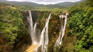
Jog Falls Viewpoint
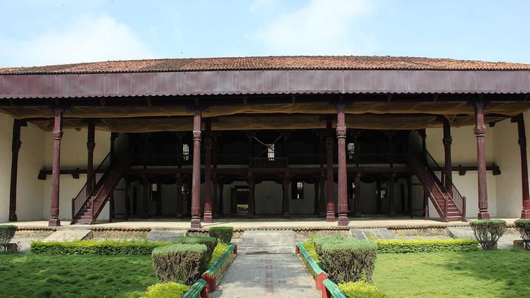
A short walk from the car. Keep an hour, wait for the fog to clear.
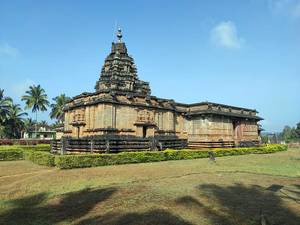
Keladi Temple
Near Sagara. The car parks at the temple.
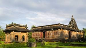
Ikkeri Temple
Close to Sagara, 30 minutes.
Distance
400 km
From Bangalore
Time
About 7.5 hr
Via Tumakuru, Kadur and Sagara
Starting from
₹ 10800
3 days, 900 km, Dzire

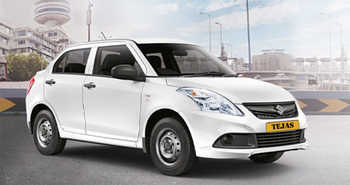
Maruti Swift Dzire
NORMALAC4 Seats
₹21,950
+ ₹3888 (Taxes & Charges)

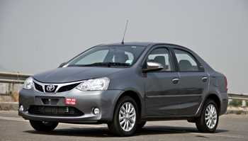
Toyota Etios
NORMALAC4 Seats
₹25,550
+ ₹4536 (Taxes & Charges)

Toyota Innova
LUXURYAC6 Seats
₹32,800
+ ₹5832 (Taxes & Charges)

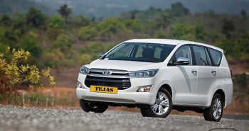
Toyota Innova Crysta
LUXURYAC7 Seats
₹36,400
+ ₹6480 (Taxes & Charges)

Toyota Innova Hycross
LUXURYAC7 Seats
₹47,200
+ ₹8424 (Taxes & Charges)
Start
70 km
145 km
210 km
290 km
370 km
400 km
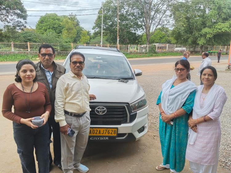
Pickup at your door
Jog Falls is a full day's drive of about 400 km, so we suggest the car reaches your home by 5:30 am. The driver follows Tumkur Road, NH48, out past Nelamangala and keeps to it until Tumakuru, the usual breakfast town for trips heading towards Shivamogga. A car covers the flat first half quickly. Pack rain jackets and a change of clothes, because spray and showers are part of a Jog visit in the wet months, and the northeast rains can also bring heavy evening storms in October and November.
Breakfast
Thatte idli, the wide plate idli that this district claims as its own, makes the breakfast at Tumakuru, about 70 km out. A family is done in fifteen minutes. The Siddaganga Matha, a 15th century Lingayat monastery, is about 5 km from the city, and Madhugiri's huge rock hill with its fort is about 43 km away, both outings for other weekends. Road signs here show Tumkur and Tumakuru side by side. After breakfast the car turns west, leaving NH48 behind.
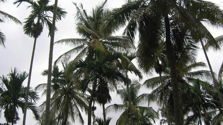
Tender coconut
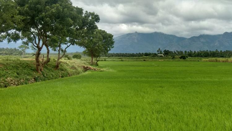
By Tiptur, around 145 km out, the roadside is lined with coconut palms, and a tender coconut from a cart makes a better break than tea. The whole belt is called Kalpataru Nadu, and the town's copra auctions run every Wednesday and Saturday. Tiptur lies at about 862 m, a shade higher than Bangalore. Shivamogga is roughly 145 km further through Kadur and Bhadravathi, so settle in for a long, flat run.
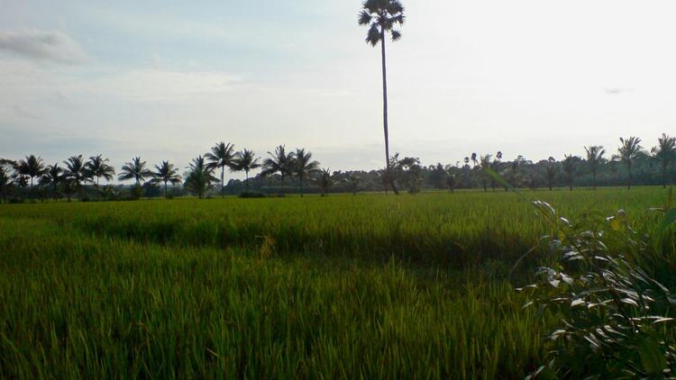
Fuel and restroom
Kadur stands on the Bengaluru to Honnavar highway, the same road that later runs past Jog, around 210 km from home. Take ten minutes for fuel and the restroom. The town lies in a dry belt in the shadow of the Malnad hills, so the land still looks brown here even when Jog is in full flow. Shivamogga is about 80 km on, through the steel town of Bhadravathi, roughly 60 km ahead.
Lunch
Lunch is at Shivamogga (Shimoga), around 290 km out, a city on the Tunga that likes to call itself the gateway to Malnad. A Malnad meal at a city hotel takes about 40 minutes. Look out for appe midi, the tender mango pickle from Sagar, the best food gift of the district. The city is also a busy areca market. Sagar lies about 80 km on, and Jog about 110 km, so the falls are roughly two and a half hours away.
Tea and pickle
Sagara, also written Sagar, sits on the Varada river at about 579 m, roughly 370 km from Bangalore and the last town before the falls. Buy appe midi pickle here, made in this very town. Varadahalli, with the samadhi of Sridhara Swami, is about 6 km out on the Jog road, and Varadamoola, the source of the Varada, is about 6 km away too. Ganapathi lake has a temple and a mosque side by side. Jog Falls is about 30 km ahead on NH69.
Falls parking
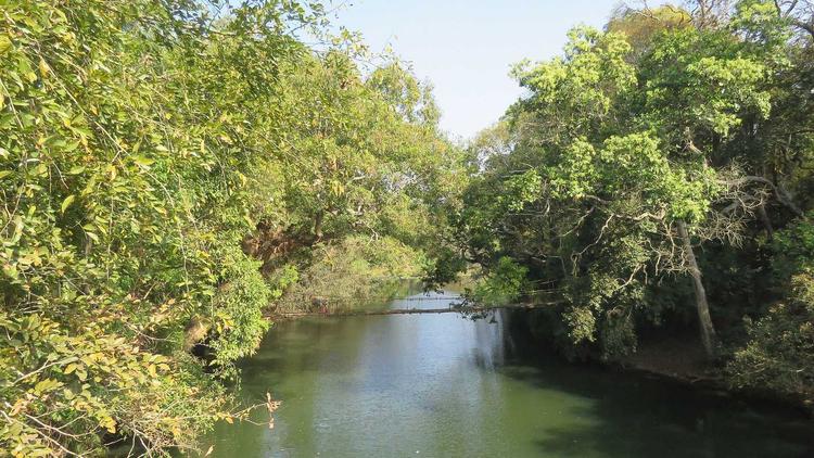
Jog Falls is about 400 km from Bangalore, around seven and a half hours by cab with the halts. The Sharavathi drops here about 253 m, which makes it the second highest plunge waterfall in India. The car parks at the visitor area; entry and parking fees are small and change from time to time, so check at the gate. July and August bring the fullest flow. From Jog the road goes on down the ghat to Honnavar on the coast, about 70 km.
A rainy weekend at Jog Falls for two to seven people? Here is how a Bangalore to Jog Falls Cab trip goes, with stops, timing and car rates. A car with our driver handles the long road and the fog after Sagara. We run cab rental in Bangalore with sedans and Innovas.
Route | One way | Jog Falls and back | Time by cab |
|---|---|---|---|
Bangalore to Jog Falls via Tumakuru, Kadur and Sagara | About 400 km | About 800 km | About 7.5 hr with stops |
About 800 km round trip, three days, billed as 900 km. Tolls, parking and GST extra. One way is ₹2 more per km. A car's km rate pays for fuel, the driver and AC; driver allowance is extra each day.
Vehicle | Rate per km | 3 days, 900 km | 4 days, 1,200 km | 5 days, 1,500 km |
|---|---|---|---|---|
₹12 | ₹11,850 | ₹15,800 | ₹19,750 | |
₹14 | ₹13,650 | ₹18,200 | ₹22,750 | |
₹18 | ₹17,400 | ₹23,200 | ₹29,000 | |
₹20 | ₹19,200 | ₹25,600 | ₹32,000 | |
₹26 | ₹24,600 | ₹32,800 | ₹41,000 |
Totals are the km fare plus the day driver allowance. Extra: night driver allowance (₹350 to ₹400 a night, by size), tolls, parking and GST. Shared by 7, 4 days in the Toyota Innova Crysta is about ₹3,660 a person.
For wet hill roads, a bigger car helps. Two to four people: Dzire or Toyota Etios. Five to seven, or elders who want leg room: Innova Crysta or Innova Hycross.
Eight or more? The Bangalore to Jog Falls tempo traveller costs less than two cars. More room for elders: the Bangalore to Jog Falls Urbania. Plan the trip with our Bangalore to Jog Falls route guide.
Cancellation: no charge more than 72 hours before pickup; see the cancellation policy for the rest.
Travelled to Bangalore
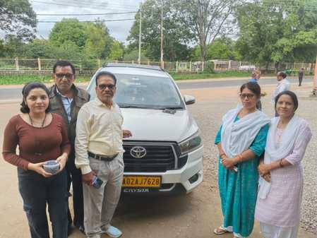
So nice that the service we have received from Tejas travellers. Ms Revati is very good coordinator and so polite and have much patience. Thank you so much for making our journey nice and beautiful with sending experienced drivers.🙂
rahul
6/11/2025Bangalore
5/5
Travelled to Bangalore
Very good and clean vehicle provided for family trip for two days. Driver was professional and polite. Excellent service
Mas S
6/3/2026Bangalore
5/5

Travelled to Bangalore
Hired for day-out trip, It was very pleasant and comfortable journey, with good driver's behaviour and l may strongly suggest Tejas travels for better and comfortable family trip
Kishore Lal
6/11/2025Bangalore
5/5
Travelled to Bangalore
Booked cab from tejas travels, bangalore to madikeri. Excellent service, driver was very polite and he knows all nook and corner. Overall we enjoyed the trip
Jai Kumar
6/11/2025Bangalore
5/5
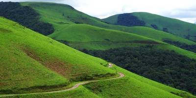
About 400 km one way, by Tumakuru, Tiptur, Kadur, Shivamogga and Sagara, so about 800 km for the round trip. A cab takes about 7.5 hours with breakfast, lunch and tea halts. The plains up to Shivamogga are quick, and the last 30 km after Sagara are greener and often wet.
Three days and 900 km: Dzire ₹10,800, Etios ₹12,600, Innova ₹16,200, Crysta ₹18,000. Allowance, tolls and GST extra.
Yes, it is about 800 km. Two days are billed on the actual km.
Innova or Innova Crysta. All cars on cab rental in Bangalore.
Yes. Tell us the plan and we quote the km.
Yes. Our drivers do this road through the monsoon.
July and August, when the Sharavathi is full and the falls are at their most powerful; Karnataka Tourism suggests August to December for a good flow with clearer views. In summer the flow drops sharply, as the dam upstream holds back the water. Mist can hide the falls on heavy rain days, so plan a buffer hour for the view to open.
Yes, with care. The drive is long, about seven and a half hours, so plan halts every two hours and carry snacks and water. Children should stay well back at the viewpoints, which get slippery in the rain. The steps down to the base, about 1,400 of them, are not for small children. Pack a full change of clothes for everyone.